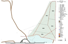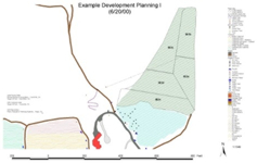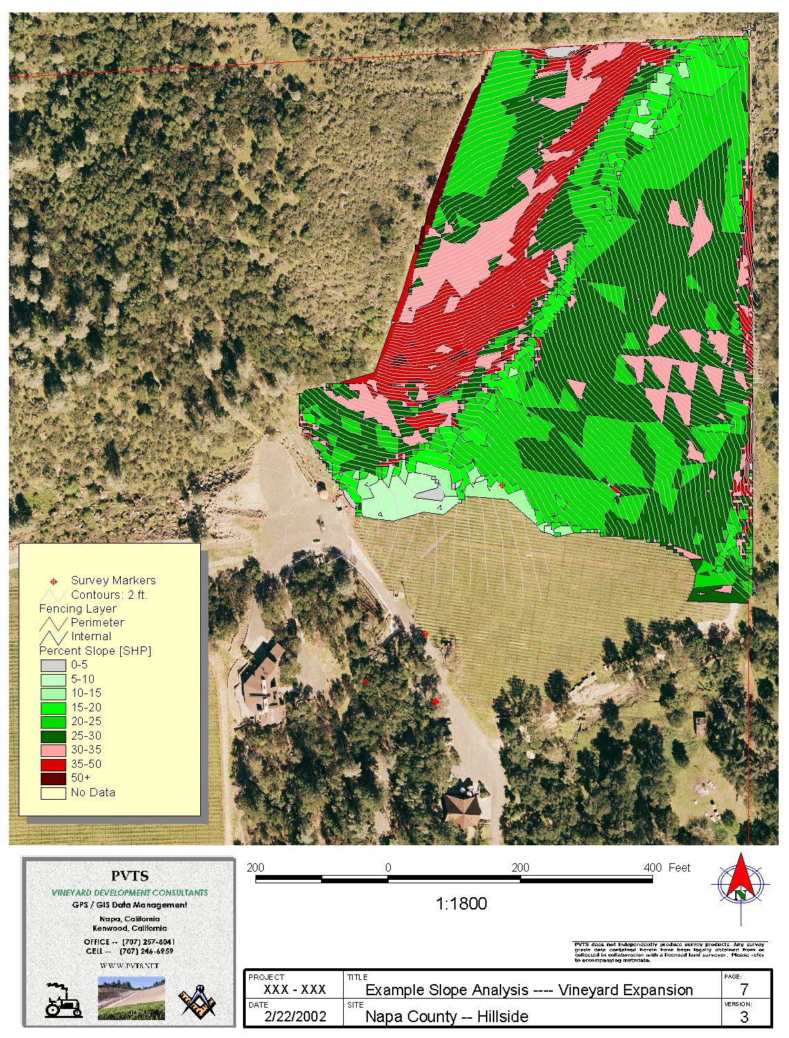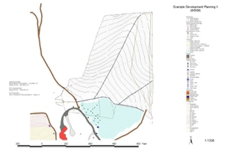
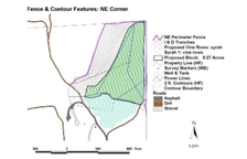
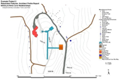
GIS Mapping 2 - Vineyard Design
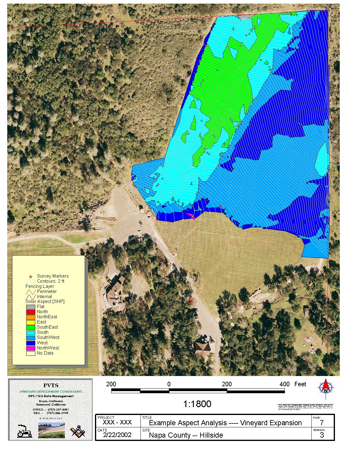
PVTS first utilized GIS methods for vineyard planning, design and layout in 1997. We understand vineyard and agricultural field installation issues -- first hand. GIS became a more powerful design tool in our hands as we have grown as a company. Each new project has prompted more evolved planning and design methods that take into account critical factors such as:
| - geology | - well & irrigation design | - block subdivisions | ||
| - soils testing | - microclimate mapping | - row orientation | ||
| - elevation | - solar aspect | - plant spacing | ||
| - slope | - solar tracking | - selecting plant materials | ||
| - surface drainage | - photoperiod | - access to the vineyard site |
among other construction considerations such as viewshed, road location, electrical routes and infrastructure.
ALL are optimized using GIS techniques. The information then stays with the project. PVTS collaborates with land surveyors, engineers, vineyard managers and crop consultants to provide comprehensive design phase support.
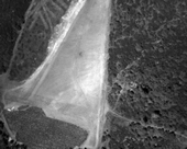
[click each picture for a larger view and details]